Key Takeaways
- The US Climate Prediction Centre forecasts an 81% chance of a very strong El Nino between October and December.
- El Nino is expected to peak between October and December, potentially ranking as one of the largest events since 1950.
- Global warming may increase the variance of El Nino events, leading to more extreme conditions.
The US Climate Prediction Centre (CPC) has issued a significant warning that the current El Nino weather pattern is likely to 'rank among the largest' ever recorded when it peaks between October and December. This forecast comes with an 81% probability, making it highly probable for this event to be one of the most intense in the historical record dating back to 1950.
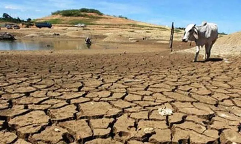
El Nino, characterized by warming surface temperatures in the central and eastern equatorial Pacific Ocean, triggers widespread changes in global weather patterns. These include drier conditions and potential droughts in Australia, wetter winters in East Africa and parts of the southern United States, and varying impacts across Europe. The CPC also predicts a 97% chance that this El Nino will persist through early spring 2027.
Tim Stockdale, an expert from the European Centre for Medium-Range Weather Forecasts, echoed these predictions, stating that it would be 'a very, very big surprise' if the event did not break records. This underscores the significance of the current El Nino and its potential to significantly alter global weather conditions.
The strength of this El Nino is evident in the current sea surface temperatures, which are 1.2°C (2.2°F) above average in a defined stretch of the equatorial Pacific known as the Nino 3.4 region. This warming, combined with deeper oceanic and atmospheric changes, reflects a strengthening El Nino system.
While El Nino typically peaks between November and February, the resulting temperature spikes often occur later. The current event is compounded by human-induced climate change, which may amplify its effects. In 2023, the last El Nino contributed to making it the second-hottest year on record, with 2024 breaking all previous records.
Climate scientists like Isla Simpson from the US National Centre for Atmospheric Research highlight that global warming increases the variance of El Nino events. This means not only larger El Ninos but also more extreme La Nina events. The connections to Europe are less certain, but there is evidence suggesting an increased likelihood of cold conditions in Northern Europe later in the winter.
Despite the predictability of some canonical El Nino teleconnections, there remains a degree of uncertainty due to random weather fluctuations. These unpredictable elements can deviate from expected patterns, making each event unique and complex.
'There’s quite a lot of evidence from our models that global warming increases the variance of El Nino, so you get bigger El Nino events and also bigger La Nina events.'
Isla Simpson, Climate scientist at the US National Centre for Atmospheric Research